Directions & Maps
Driving directions to meet your tour guide:
From Thomasville, at the intersection of US Hwy 19 and GA Hwy 122 (Gateway Shopping Center/ CVS/ Office Depot and Hampton Inn), travel northeast on GA Hwy 122 (Pavo Rd) for about 5 miles, passing Country Oaks Golf Course on your left. As you pass the golf course entrance you will be on a straight-away. Slow down as you approach the right-hand curve at the end of this straight-away. As you approach the curve, you will see a sign for a road to your left - the first left-turn opportunity past the golf course. Turn left there onto Airport Road. There is a fairly visible airport sign at this turn.
Proceed on Airport Road, which very soon drops gently downhill. Park on the left side of the road, about halfway down the slope. There will be a temporary sign placed at the parking location alongside the road. This is where you will rendezvous with your tour guide.
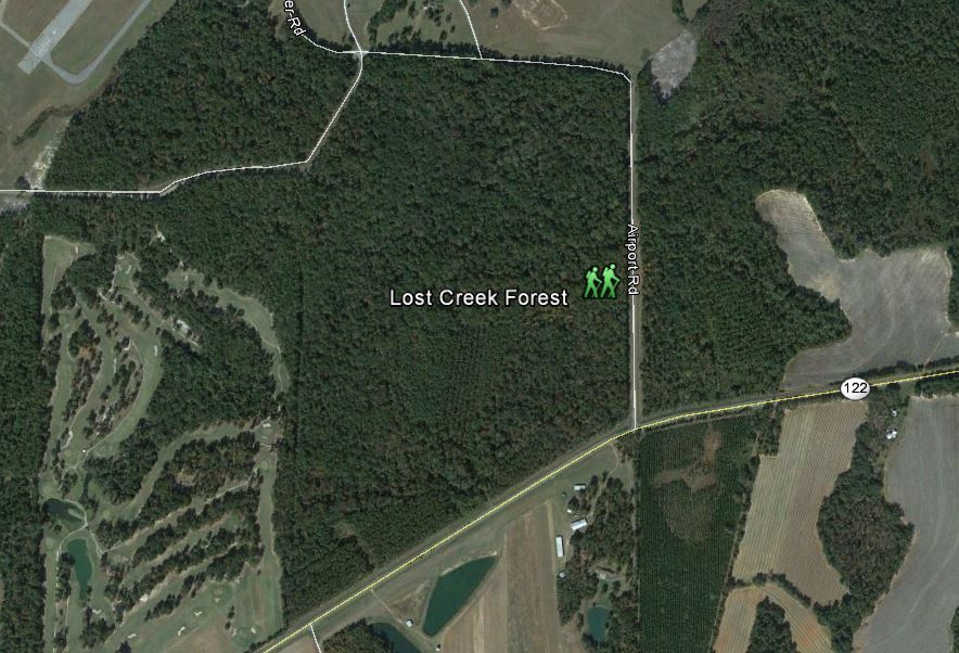
Image of Lost Creek Forest taken from Google Earth
Lost Creek Forest is located on Airport Rd., south of the Thomasville Regional Airport and east of Country Oaks Golf Course, 5 miles northeast of Thomasville, GA, off of Hwy 122 (Pavo Rd).
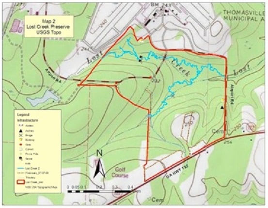
USGS Topographical Map Lost Creek Forest
|
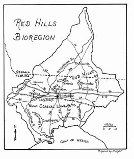
The Red Hills of GA/FL include the watersheds of the Ochlocknee and Aucilla Rivers
|
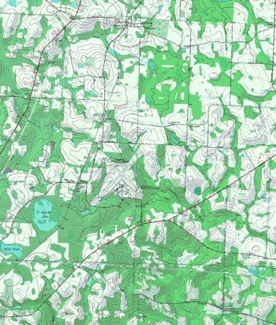
Lost Creek Forest is found in the headwaters of the Aucilla River, which flows from Thomas and Brooks Counties in Georgia down into Florida
